
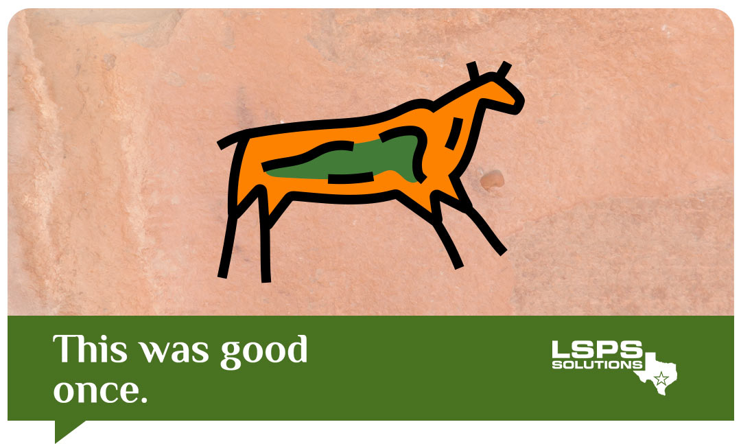
You don’t drive the same car you did in the 90s or wear the same pants you did in the 80s, so why would you still use old mapping imaging for your GIS?
Contact LSPS Solutions to see some real examples of how aerial drone surveys can change how you look at your city.


